
Click the map to download a PDF of the map.

Click the map to download a PDF of the map.

The Frank Stanley Beveridge Memorial Wildlife Sanctuary comprises over 160 acres of managed trails and land along the Little River. The sanctuary contains a wide variety of native trees, wildflowers, ferns, and more. It is also a haven for many area birds and wildlife. Frank Stanley Beveridge was born in Canada on April 17, 1879. In March 1900, having traveled from Pembrooke Shores, near Yarmouth, Nova Scotia, Frank arrived at Mount Hermon School in Northfield, Massachusetts with only a quarter, a dime and one Canadian dollar bill. He remained at Mount Hermon School for three years. In 1933, Beveridge founded Stanley Home Products, Inc. in Westfield, Massachusetts (The Enesco Group, Inc.) . In 1947, he founded the Frank Stanley Beveridge Foundation, Inc., a trust. In 1949, he established the Stanley Park of Westfield, Inc. on twenty-five acres of land in Westfield, Massachusetts. Today, Stanley Park consists of nearly 300 acres of formal gardens, a carillon tower, trails, sports fields and natural areas, such as the Wildlife Sanctuary.
Have you ever wondered about the type of tree or the trail you're on? We're continually updating our interactive map. Detailed instructions on how to use this map can be found below. Click the image below to access our interactive map online. To navigate the trails while you're in the park, download the ArcGIS Field Maps app and search for Stanley Park Interactive Map Designer. This will allow you to view your real-time location within the park and easily follow along using the interactive map. Download the ArcGIS Field Maps from the Apple Store or the Google Play Store here.

Stephanie Nunez Malloy (student), under the supervision of Dr. Timothy LeDoux from the Regional Planning Department at Westfield State University, developed this interactive map using ArcGIS technology. Their collaboration enhances the visualization of spatial data, making information about Stanley Park more accessible to the community. This resource serves not only to aid visitors but also to support the ongoing relationship between Stanley Park and Westfield State University.
Help us ensure that Stanley Park will continue to be a safe and positive place for leisure and recreation. No matter what level of support you are able to give, you will help in the continuation of the services and traditions that Stanley Park has offered for over 70 years to so many area families.
Join Today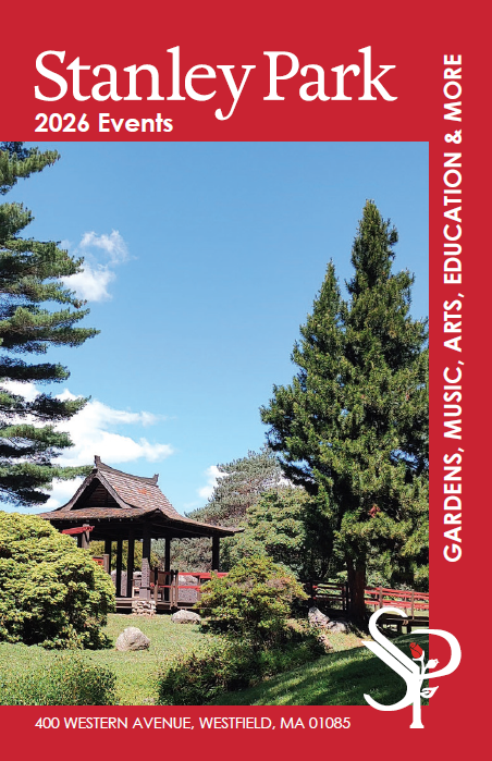
Copyright © 2026 Stanley Park of Westfield, Inc.
Website by Tru Blu Grafix Print + Web Design
Updated 5/26/26